Equal to all,
fair to the Earth
This is the project for all people on the earth. The earth is round.
Open data of the Earth, read in your own browser — on a round globe, at true scale. No server, no account, no install.
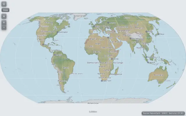 ortho-equalThe globe unrolls into the Equal Earth map — every country at its true size, names in 26 languages.
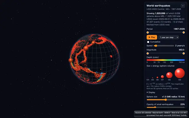 World earthquakesEarthquakes from USGS, month by month, above and below the surface of the globe.
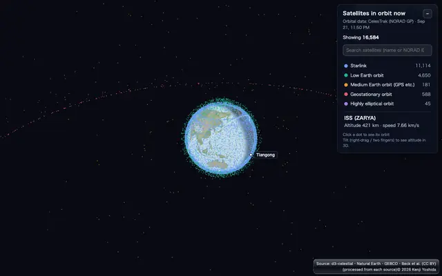 Satellites in orbit nowSatellites computed from their orbits in your browser, moving in the same frame as the Earth.
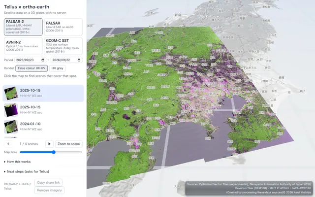 Tellus satellite dataRadar and optical satellite images from Tellus, laid on the 3D globe.
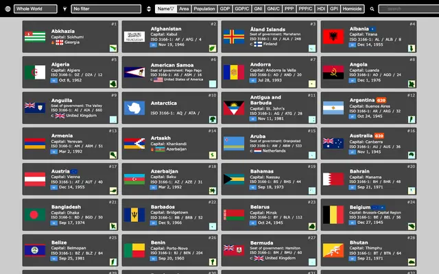 Nations of the WorldA card for every country — flag, outline and basic facts.
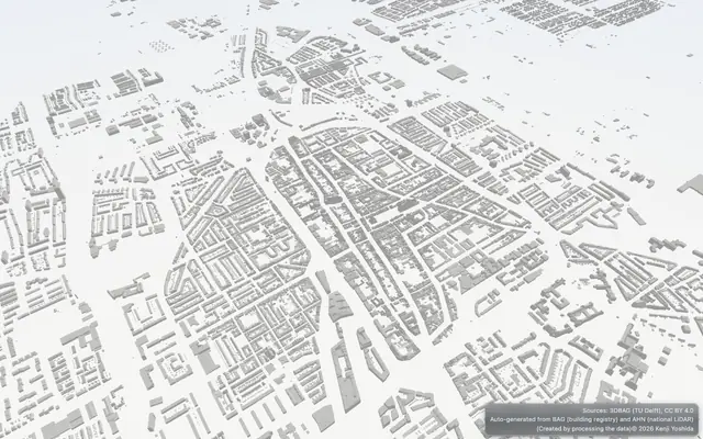 ortho-nlThe same engine in another country: the Netherlands and its 3DBAG buildings.
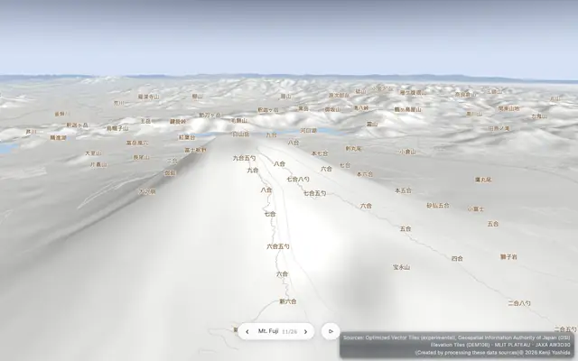
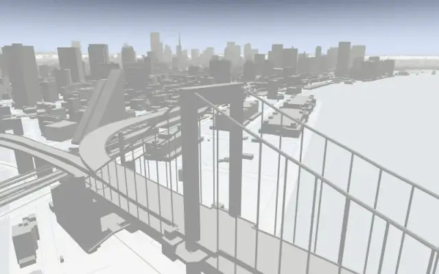 ortho-japanJapan drawn straight onto the globe from government vector tiles, with real-scale terrain and PLATEAU 3D cities that rise as you zoom.
 japan-demoThe demo tour of Japan starts by itself — from the whole Earth down to 3D Tokyo.
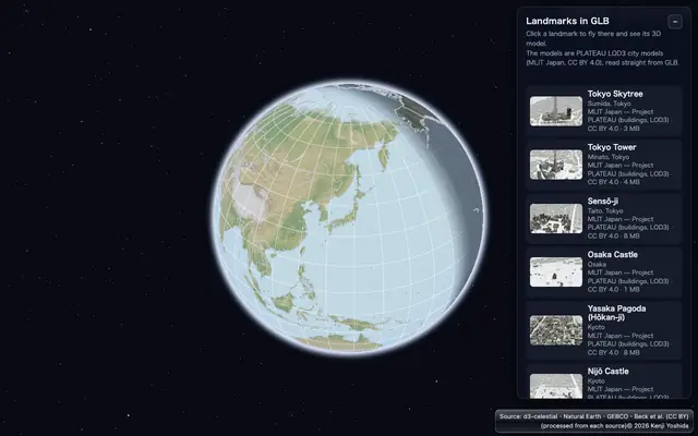 Landmarks in 3DTokyo Tower and other landmarks as PLATEAU LOD3 models, placed on the globe.
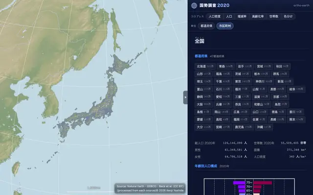 census2020Japan's 2020 census on the globe — small areas, disaster risk and land parcels.
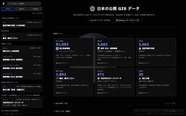 Japan's open GIS dataOpen data from Japan's ministries — cadastral maps, census small areas, national land data — to view and convert.
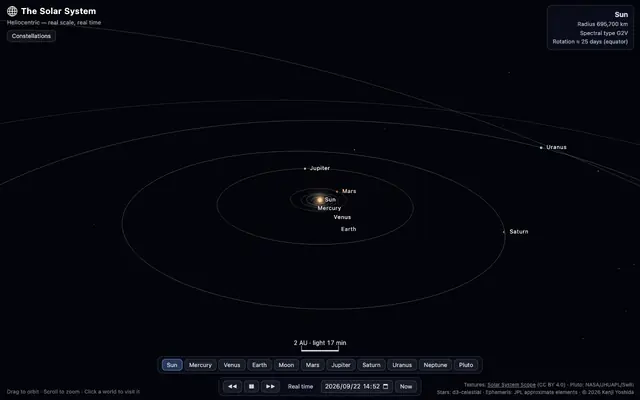 ortho-solarThe Solar System around the Sun, with the planets and their moons where they are now.
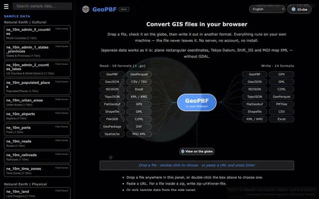 GeoPBFDrop a GIS file, check it on the globe, write it in another format — 18 formats in, 14 out. The file never leaves your machine.
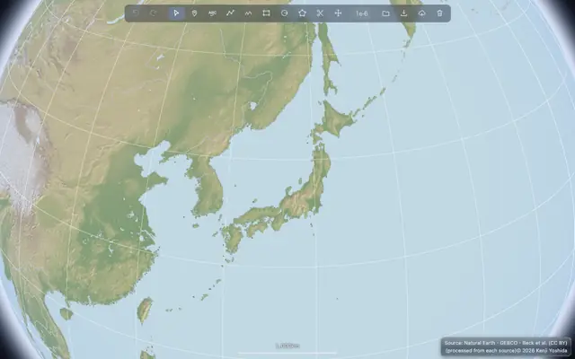 geoeditDraw and edit shapes on the globe, and save them as GeoPBF.
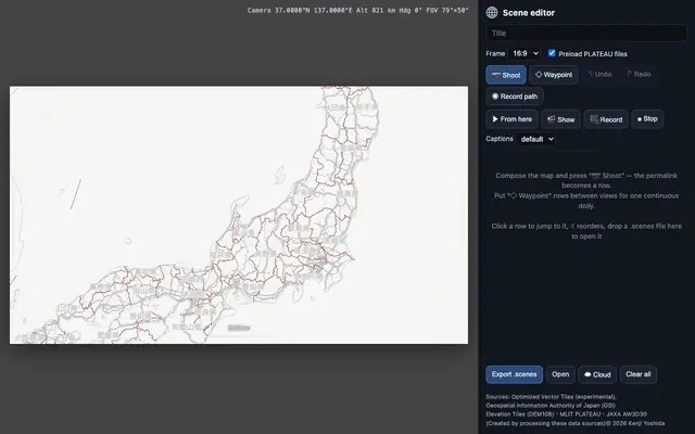 Scenes editorMake a camera tour of the globe and record it as a video.
 MapsMaps people published from their own GitHub — open them on the globe.
Parquet draws big data, Gint thinks, and nothing is exaggerated.
Data format · MIT
GeoPBF
A compact binary format for geometry, and a converter that runs in the browser: 18 formats in, 14 out, with GDAL-free support for Japanese coordinate systems. It does not keep an index — partial reads are GeoParquet's job.
Overview
日本語
npm
Try it
Vector engine · GPL-3.0
Gint
The intelligence layer: shared-edge topology in a GPU-readable form — instant identify, choropleths and level of detail straight on the GPU.
Overview
日本語
Interactive demos
Morton Order
GPU Culling
Stencil Tessellation
Map engine · GPL-3.0
@ortho-earth/core
The globe itself: WebGPU with a WebGL2 fallback, real-scale terrain, and base map, vectors and 3D cities drawn together through a worker pipeline.
Overview
日本語
Elevation · MIT
AltPBF
Elevation tiles in Protocol Buffers — three zoom tiers from GEBCO and ALOS, delta-coded and deflated for fast terrain.
Overview
日本語
3D models · MIT
glbconv
Converts GLB to glTF, OBJ, PLY, STL, USDZ and 3D Tiles in the browser, keeping each model's place on the Earth.
npm